In disasters of enormous proportion such as Hurricane Katrina, the Asian Tsunami or the recent Pakistani earthquake large swath of terrains were suddenly rendered inaccessible or impossible to image. Satellite access time to these areas meant not having access to imagery for periods of time ranging from hours to days. The delay in access time to imagery is critical at the level of first time responders but increasingly it is becoming obvious that the general population want similar information.
High altitude balloons can be deployed in a matter of hours and provide emergency remote sensing thereby enabling first responder's situational awareness and give adequate trajectories to rescuers. It would also enable the diffusion of imagery to a large segment of the population looking for information thereby reducing the strain on the telecommunication system of the affected area.
With these requirements in mind, we propose to use a low cost Off the Shelf digital camera (COTS) called GEOCam to provide high resolution imagery from high altitude balloons in order to provide geographical information on large areas of interest. Superresolution of images taken by COTS cameras can be obtained through the use of proper image processing of series of frames. We also propose to evaluate the ability to perform photogrammetry in order to estimate 3-d information from a series of frames.
Our outreach plan consists in providing trajectory of the balloon on a Google Maps and Google Earth interface. The result of the diverse image processing performed on the movies and still frames of the HASP campaign will also be featured on the same website. The project will make available how we built the hardware in order to provide this capability to people affected by disasters. The data stream going from the camera all the way to how it was implement as overlays on Google Maps will also be explained in detail.
Our application for the HASP program has been accepted. More on this here.![]()
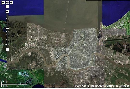
The main difference between a project like ours and others where cameras are flown on UAVs is the ability to image large swath of lands. At 120,000 feet, the ability to cover the whole city of New Orleans becomes a matter of steering the camera rather than an issue of craft navigation. We also expect that the impedance between the world's expectation of instantaneous news and the filtered first responders information stream will only get bigger. Solution like ours would prevent this bottleneck of information thereby providing everyone (including first responders) will clear and valuable information.
Wednesday, March 29, 2006
GeoCam: an off-the-shelf imager for high altitude balloons
Subscribe to:
Posts (Atom)
