We have used the Autopano software to stitch together very large panoramas made up of most of the usable images taken by GeoCam during the HASP balloon flight. Out of 4 GB of memory, there was a minimum of about 2 GB of data that could be used and stitched nicely. The remaining pool of images has too many clouds to allow for scene recognition. The largest panorama is some type of record being 3.7 GB large. However it is sparse and therefore is much smaller when it comes to actual pixel counts (100s of MB). They should be up soon.
Tuesday, October 17, 2006
Wednesday, October 04, 2006
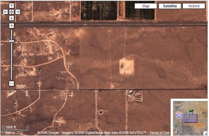
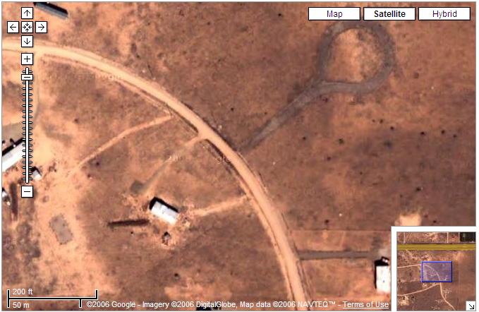
Comparing Satellite Imagery and GeoCam Data
Here is a comparison of images taken by GeoCam (at 36 km up with a Canon Camera) and those taken by Satellites and featured on Google Maps. This is just before entering Moriarty, NM:
and a frame taken by GeoCam at the same scale

The level of detail afforded by GeoCam is comparable to the next best resolution provided by Google Maps.
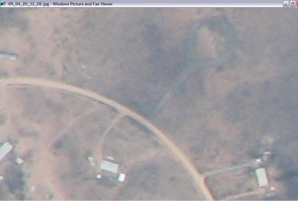
Pedro has estimated that one pixel on GeoCam is about 3.3 feet. Potentially, GeoCam could be provide coverage for a larger swath of land as, in this flight it was tilted at 20 degrees angle from Nadir.

More on that later.
Subscribe to:
Posts (Atom)
